
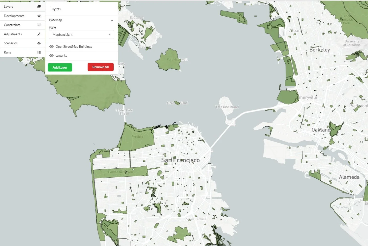
Run robust land use plans and get quick buy-in
Each Urban Landscape is Unique.
Evaluate the Right Growth for Your Region or City.

Run Models Quickly
Develop models efficiently and resourcefully with local data. Rely on our cloud hosting to run and adjust multiple scenarios swiftly.
Evaluate Policy Impacts
Incorporate and better understand the impact of local, state and federal policies, particularly around affordable housing requirements and incentives.

Collaborate Across Teams
Collaborate easily with internal urban planning team members to develop indicators and visualizations. Control the visibility of results using admin privileges.
Technical Expertise Not Required
Discover actionable insights and effortlessly communicate to people with varying skills and expertise.

“UrbanSim provides the rigor I need without the headache of other software.”
— Craig Casper, Senior Transportation Planner
Case Studies
-

Engage the Community by Making Models More Tangible
-

Simulate Reality by Tying Transportation, Climate Change, and Land Use Planning