

Customize context-sensitive models
Develop the Most Credible Models that are Right for Your Community.

Run Sophisticated Models
Leverage advanced machine learning in conjunction with out industry expertise, founded on Nobel Prize winning theoretical and methodological work, to build the most robust scenario models.

Personalize Parameters
Users can extend the model system as needed with models, variables, and indicators. Specify detailed zoning designation information including: floor-area-ratios, setbacks, building types, unit density, lot coverage, and max heights.

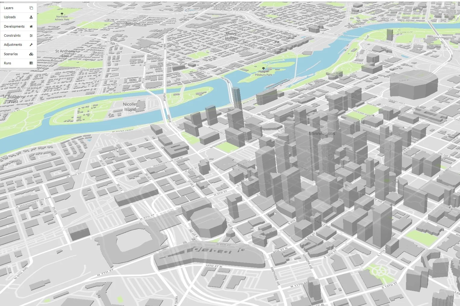
Access Zone, Block, and Parcel Data
Configure and operate UrbanSim models at a variety of different geographies such as parcel, census block, or zonal-level. Additionally, collect and maintain data in one secure location.
Simulate Multiple Scenarios Quickly
Our simulations can be run on the cloud to avoid retaining large computer acquisition and maintenance costs. Effortlessly scale up to run numerous scenarios quickly.

Visualize Results
Support planning and analysis of urban development, incorporating the interactions between land use, transportation, the economy, and the environment.

Collaborate Across Teams
Capture feedback from internal modeling team or external stakeholders on input data for scenarios such as base data, development projects, constraints, or adjustments.
You’re in good company
We are the leading provider for Metropolitan Planning Organizations.


Case Study: New Mexico’s Mid-Region Council of Governments (MRCOG)