Smarter Urban Development with AI
Reduce the time, effort, and cost of planning urban development and infrastructure projects, while increasing confidence they will achieve desired outcomes.
UrbanSim Inc. helps urban development stakeholders make smarter plans with less effort.
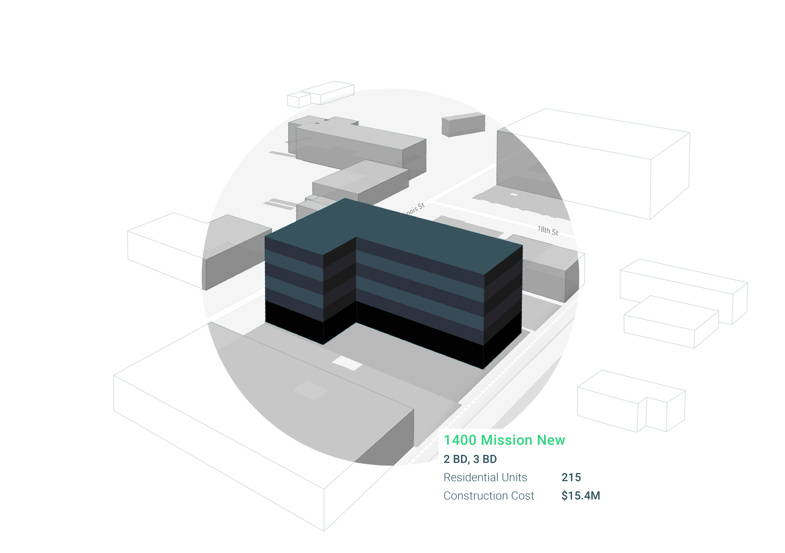
Our state-of-the-art urban simulation, 3D visualization, and shared open data empowers users to explore, gain insights into, and develop and evaluate alternative plans to improve their communities.
The UrbanSim’s platform incorporates interactions between land use, transportation, the economy, and the environment to build better cities. Over 81.8 million people live in areas covered by regional plans informed by UrbanSim. We span 5 continents. There are over 10,000 academic citations for UrbanSim.
Let’s make cities more accessible, affordable, and resilient together.
PLAN DIFFERENTLY
Lead with innovation. Don’t assume current plans produce good outcomes.
Learn from the past, inform the present, and shape the future of communities through customized models, analysis, and visualization.
Account for behavioral realism, policy sensitivity, and cost effectiveness.
PLAN INTELLIGENTLY
Make informed decisions quickly.
Use a flexible modular analysis framework to quickly adapt to local conditions and your context.
Rapidly generate sophisticated analysis and well-managed modules and templates.
PLAN EFFECTIVELY
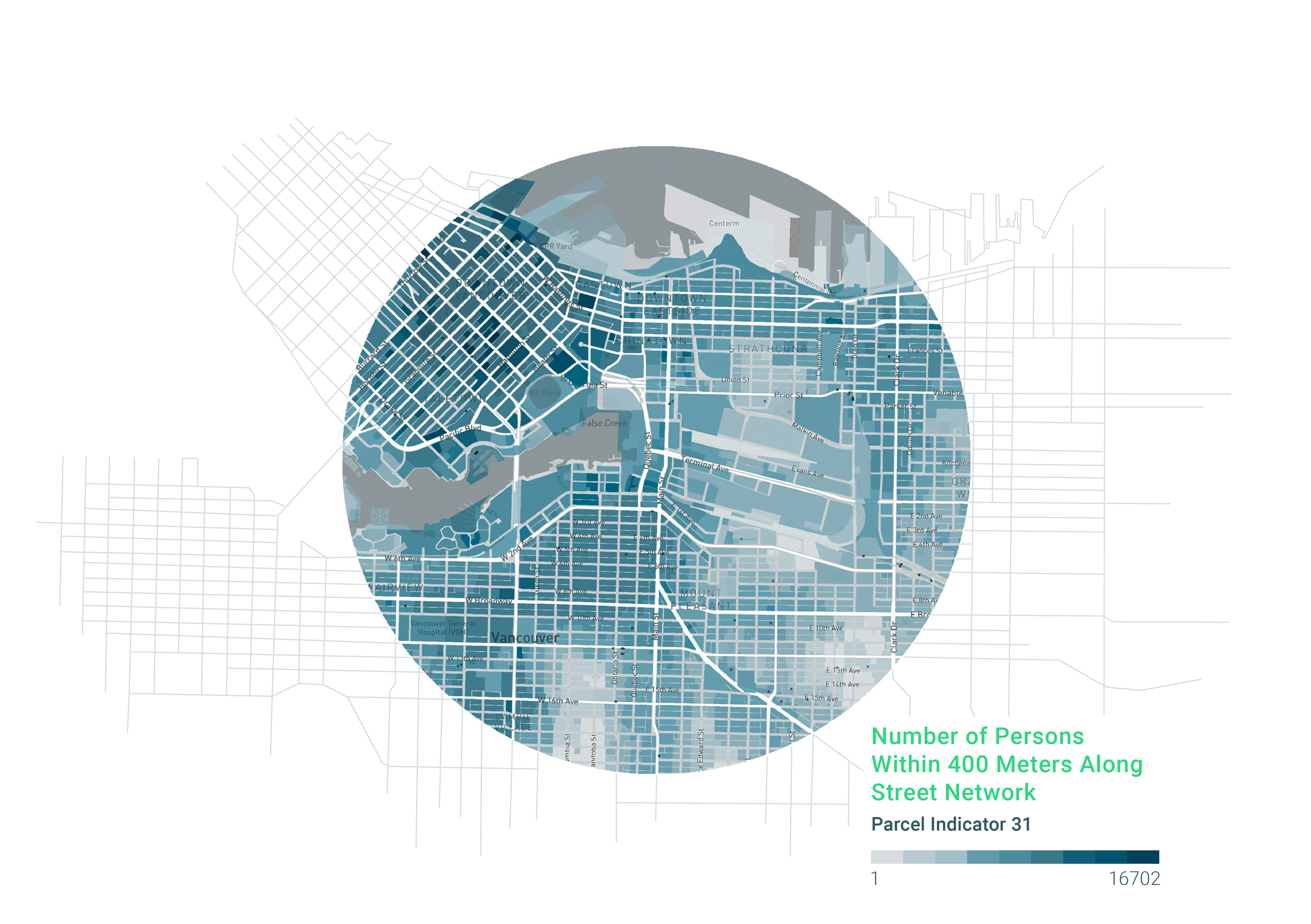
Build your planning process on our powerful indicators and compelling visualizations.
Leverage the power of cloud computing to drive rapid, cutting-edge analytics.
Optimize over thousands of alternatives while meeting constraints, land use regulations and building codes.
PLAN COLLABORATIVELY
Use UrbanSim as a unified system to communicate with multiple stakeholders.
Make data and analytics accessible to everyone: no PhD, programming, or GIS skills required.
Work across internal departments and external organizations.
Learn More
-

Case Study
-

Free Course
-

Podcast


